The past months HiView continued working on the USAID project in Mozambique. The project -called ThirdEye- aims at supplying smallholder farmers with information concerning drought and crop stress derived from our Flying Sensors. For this reason, several Mozambican operators in the irrigation regions of Xai Xai and Chokwe were trained to operate the Flying Sensors. The trainings contained operational flights with the Flying Sensors and analysis of the NIR images. Moreover, the operators were instructed to convey tailored information to the farmers and farmer organizations. The ThirdEye project will last 3 years resulting in the development of self-sustaining companies that offer farming information services based on aerial imaging.
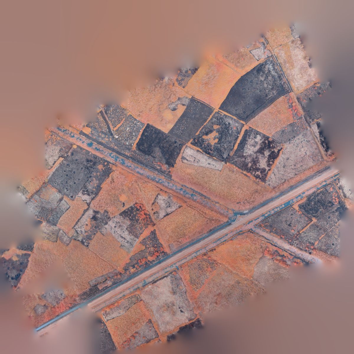
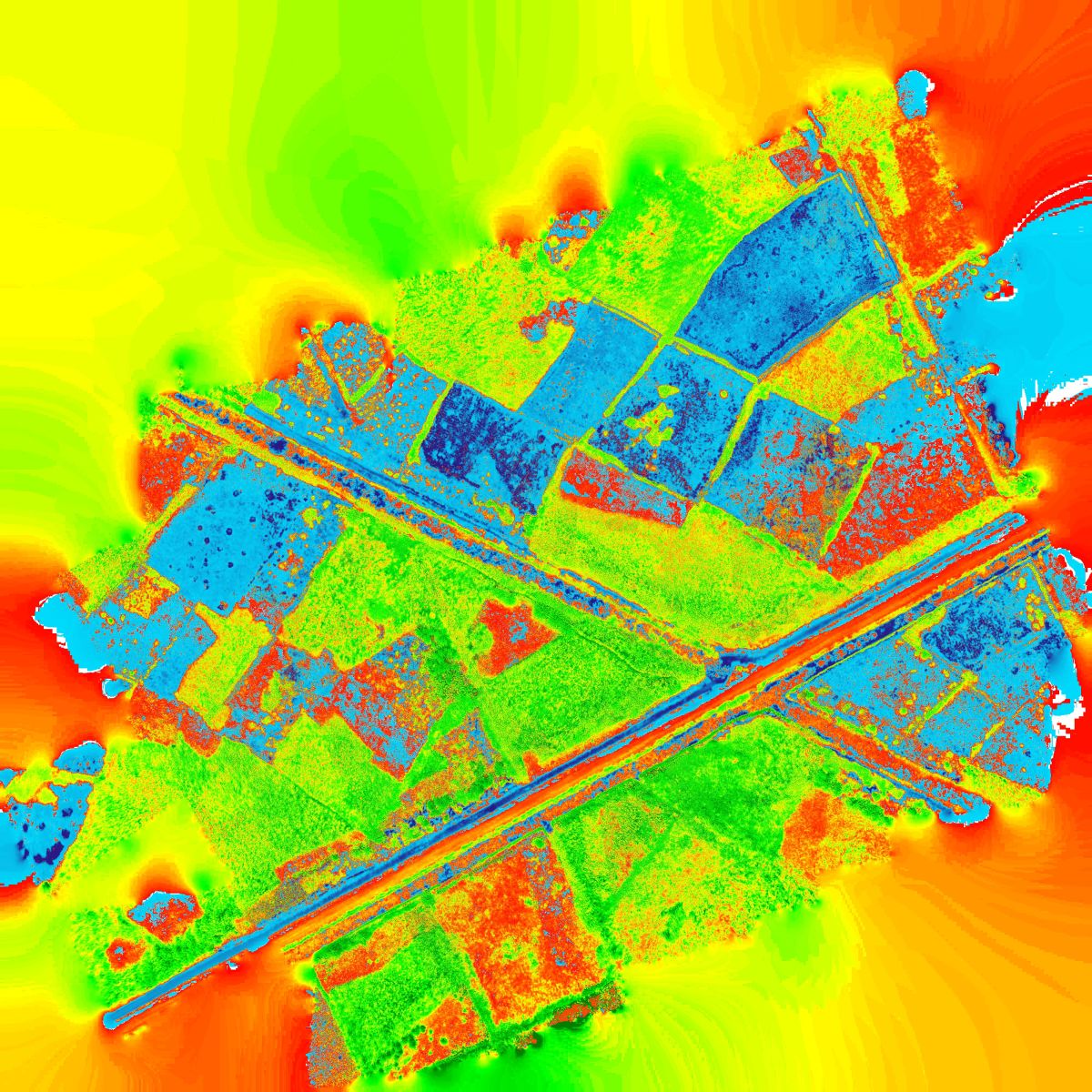
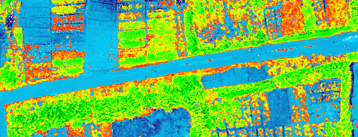
These 2 images were recently obtained from the Nhamponzoene area in Xai Xai. The normalized difference vegetation index (NDVI) is a graphical indicator that can be used to analyze remote sensing measurements and assess whether the target being observed contains live green vegetation or not.